
My mate Carl has been wanting to do the Saint’s way for a while now. I was asked if I wanted to join him and I said yes, despite the lack of mileage in my legs. The Saint’s way goes from Padstow in Cornwall to Fowey, also in Cornwall. As I am a member of the LDWA (Long distance walkers association) I was able to download a map which tells me that it’s 27.4 miles long with over 3,000ft of elevation gain. I downloaded the map to my phone. The day before when we were staying at Carl’s parents in Liskeard, so I studied the map and took down some notes of places, landmarks etc.. This wasn’t always possible in some places as it was just lots of green land. I also wrote down the train and bus times in my little note book. I packed a rucksack with water, lucozade sport, cereal bars, a spare pair of socks, a clean t-shirt, vaseline for the chafing and some sun tan lotion. It looked like a nice day so I left the rain mac out. Brave decision!

We got up just before 6am and Carl’s mum made us Scrambled eggs on toast and Coffee. We then got a lift to Liskeard railway station for the 6.45 train to Bodmin parkway. At Bodmin parkway I realised that Google maps had lied to me. There wasn’t a bus to Padstow for over an hour. Bloody Cornish transport. We stood around for a bit debating what to do. We were still 18 or so miles away from Padstow. We decided to walk to Bodmin via Lanhydrock as Carl said the main road would be too dangerous. I didn’t realise it would be a 4 mile walk with some downhill running to Bodmin town centre. I thought that there would be more bus options from here, but not so. In the end we just jumped in a taxi and paid £30 to get to Padstow. £15 each. Time was getting on and we weren’t even at the start line yet!

We wondered around Padstow harbour for a bit looking for the official start of the Saint’s way. It was supposed to start in a church somewhere. We found it in the end. Even when we found St. Petroc’s church we ran the wrong way from it anyway. I only discovered this when I watched a video on youtube of someone else doing the walk. It didn’t matter though. We followed the directions I had written as there were no or very little signage to mark the route. We ran down Dennis road, onto Dennis lane and there we found our first stile going into woodland. There was a steep climb up but when you looked behind you could see above Padstow and the water. It was a great sight. We headed for an Obelisk. This monument on Dennis Hill was built to celebrate Queen Victoria’s Jubilee of 1887 and was erected in 1889.

We ran past the Obelisk after taking a few photos and came to a dead end. Again, no signs. We turned back and then came into contact with another lost person. She had come from Little Petherick and wanted to get to Padstow. We wanted to get to little Petherick so we exchanged route knowledge and said fairwell. Now we were in another big field on a hill. We went left in search of a river crossing but came to another dead end. We backtracked past some sheep and found a sign and a downward hollow through some trees. We got down to the creek of Little Petherick and found our little river crossing. We went through the woods again and crossed another river and then came out to the busy road of the A389.

Now was the weird bit. Instead of walking up the A389 (which was a busy road with no paths I guess) you had to turn left cross the creek and go back along the creek but on the otherside. Anyway, I think we took a public footpath too early on which sent us on a wild goose chase. We got lost for quite a few miles and it was getting a bit tiresome after a while. We were now on farmland and the sheep were freaking out. I thought they were trying to charge at us but Carl pointed out that they probably just wanted to get through the open field gate at which we were standing. We tried our best to find a road as we could see the church of St.Issey.
We ended up walking knee deep in a maize field and back to where we started. In the end we just headed for the farmhouse and we found a gate to a road. This had made me very happy despite the extra mileage. We got to run on a country lane for the first time in a while. We had only covered 10k and my legs seemed to be tired already! At this point I was convinced that I wouldn’t make it to the end. I would push on though and in my mind wanted to finish at halfway. At least get the half marathon distance in there. Maybe finish at the pub in Lanivet?

We came to a junction and turned right. We figured that it would bring us closer to getting back on the Saints way. Back to the A389 and we cautiously run down some of it until we see a sign with Trenance on it. This was on my list of places in my notebook so we head there and Carl recognises the place. He has worked on so many roofs in Cornwall and often points them out on our runs around Cornwall no matter where we are.

At the end of Trenance we carry on running up a track. There are no signs and after a while we stop running to gather our thoughts and get a sense of direction. We decide to continue into another field and then we find a sign at last. We go through a few corn fields. There are a few signs for a bit now and we then cross the A39. Not long after we climb up to St.Breock Downs. It is the highest point at 700ft on the Saints way. The views were great with the peace and the wind turbines rotating in the distance. The sheep grazing and lots of distant fields.

We got to run for quite a bit after this as there was a lot of downhill on quiet country lanes with tall trees in the distance. I tried to film some of this but forgot to charge my camera. After lots of Downhill we came into Withiel. I was tempted to look for a pub here but we past the church and carried on into a field. Another climb through a field with freshly cut grass. At some point we got to my most dreaded part of the journey… a field full of cows. I hate them and they hate me. Then to make matters worse, Carl pointed out a Bull and calves in the same field. Luckily the Bull was facing away from us and was busy grazing. I still had to tip toe around the other cows though. I couldn’t wait to get to that stile on the other side.

We ran down a narrow gulley with freshly cut hedges and grass. I got bitten twice by a couple of horse flies. There were lots of insects here and hundreds of Meadow brown butterflies. Next we came to Tremore and then another crossing, this time the A30 which brought us to Lanivet. This was the best feeling. There was a shop and the pub. The Lanivet Inn. I had been rationing my water supply for some time and was very thirsty. I had been thinking about a pint of coke for the last 3 or so miles.

I got a pint of coke and a pint of Hicks. Carl got a pint of water and a pint of Hicks too. We had done just over 18 and a half miles. I was guessing that we would be on for a 50k outting today instead of that 27.4 miles. This was supposed to be a training run for our 30 mile race at the end of August. We sure were training well..lol.

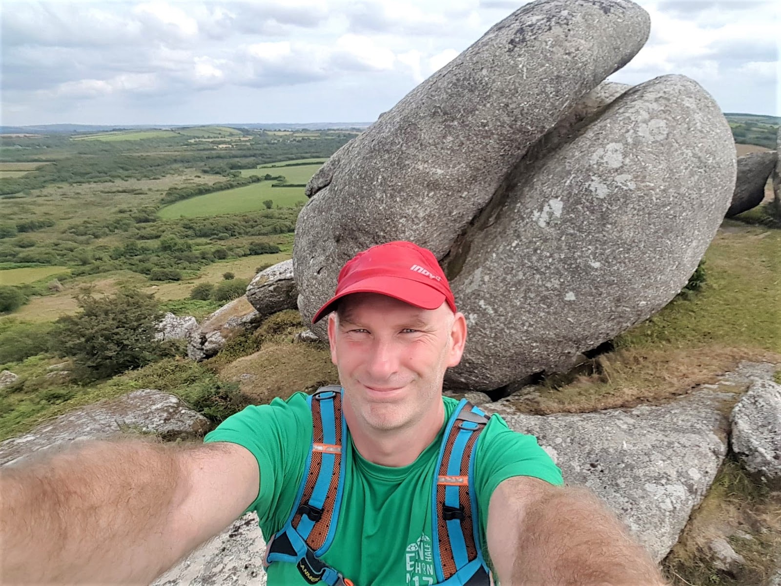
I sat in the beer garden with my shoes, socks and t-shirt off. It looked like it might rain at some point earlier but now the sun was shining. We had another pint of Hicks. Very nice beer from St.Austell brewery. I nipped into the Spar shop and got some food to eat and then we got going again. Straight up a massive hill for ages. We then came to Helman tor. The tor isn’t on the route but you do pass it. We had done enough miles but thought that we’d better go to the top of the tor and have a look. Glad we did, it was stunning. I took so many photos too. It has an elevation of 686ft and is actually a nature reserve. We sure were doing some climbing.

We got to another church in the place named Lanlivery. We ran down for a while again and took a left into a field and upto another stone monument. We carried on through a few more fields and seemed to be lost again. We were trying to locate a place called Milltown. We headed towards Lostwithiel funnily enough and then found a Saints way sign. I wasn’t sure if we’d gone wrong on that bit or not. We were feeling so much better after the pub and rest though and were in much better spirits. 20 miles soon went by and it wouldn’t take too long until we got to the marathon distance of 26.2 miles.

We headed down more hills and could see the river Fowey when we got close to the village of Golant. I thought this was actually Fowey or at least I thought we were close. We then saw a sign for 3 miles to Fowey. My heart sank a little but then I thought ‘less than a parkrun to go’. We were out of fluids again despite filling up at the pub. The sun wasn’t present a lot of the time but the humidity was sapping our energy. I was soaked and so were all of my clothes. There was a house being built with a couple of builders. Carl nicely asked if they had any water we could have. They laughed and said they’d just had a funny story about the water there. Anyway, we got our bottles filled with a little tap.

It was a lovely run through the woods on narrow trail paths. Dodging and skipping over tree roots. A drop with the river Fowey on the left. Out of the woods and onto the road. I think there was another road adjacent to the main road but Carl was off and running well so I just followed. He probably just wanted to reach the destination now without any more hassles. I certainly did. We ran and took a quick pic at the Fowey road sign. Then another half a mile of so we were in the centre of Fowey connected with the river again. We had done it. 32 miles in total (not Inc. the 4 miles in Bodmin) and over 4,300ft of ascent.

We stopped and did some groaning for a bit and decided to walk for a bit more. We still had to work out where the bus stop was and the times. We still had to get a bus to Par and then a train back to Liskeard. I also had sereve nappy rash and my ass was in agony. You got to wonder why we do it. Legs felt okay though but the feet were suffering a bit. Carl went to the pub for another Hicks while I took my socks off and put my feet in the river to cool them down. I noticed a queue forming around me and then realised that I was at the point where the ferry came across from Polruan. I stood up awkwardly, changed my socks and t-shirt and joined Carl for pints of Hicks and some pork scratchings. We got more beer and waited for the bus via another pub, It was much easier getting back than getting to the start.

I looked at my Garmin and I had covered 39 miles that day. I was tired but very satisfied. There was a great sense of achievement and to think that I was so doubtful at 10k. Neither of us had trained for this and the following days it showed. My quads and IT bands were in agony for 3 days afterwards. A wonderful experience that I will remember until my dying day though. This is why we do it.


